Product family
One sensing platform, multiple operating environments.
The attached CYSEN materials describe a platform that spans curbside occupancy, smart parking,
enforcement, APIs, portable deployments, and a newer stadium-ready two-lane vehicle detection
system. The website presents these as a complete product family rather than isolated slides.
Stadium ingress
Loss prevention
POS-ready data
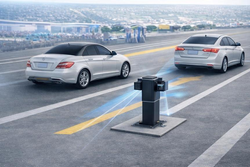
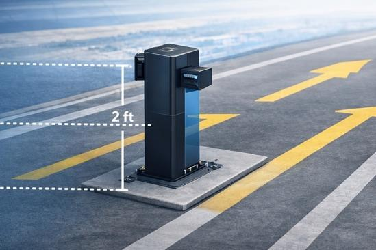
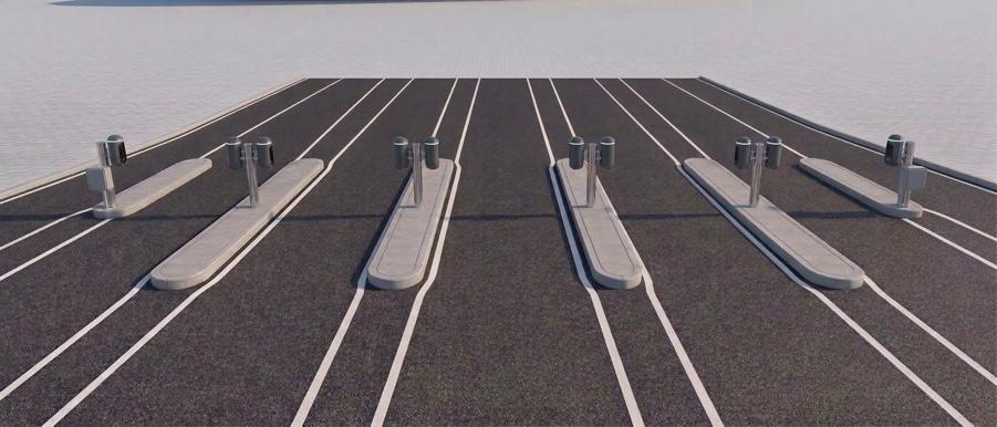
Two-Lane Vehicle Detection System
A purpose-built lane monitoring platform for stadium ingress, throughput analytics, and
transaction-level revenue reconciliation. One island-mounted unit covers two inbound lanes
using paired radar or laser scanner options, reducing field clutter while producing an
independent count record.
- One compact post between two lanes, with one sensor aimed at each adjacent lane.
- Real-time counts for lane utilization, event staffing, and cashier variance review.
- Ethernet, Wi-Fi, or optional cellular connectivity depending on venue infrastructure.
Occupancy
Turnover
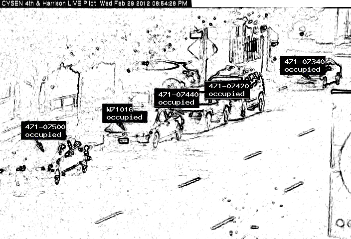
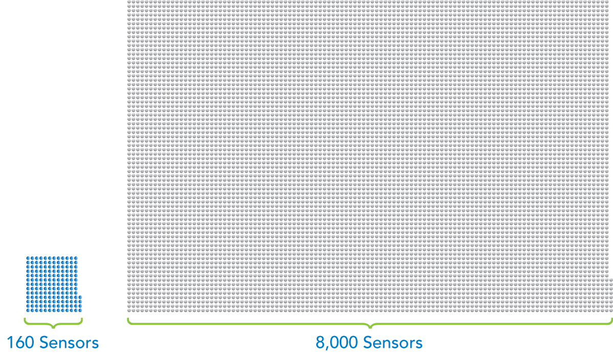
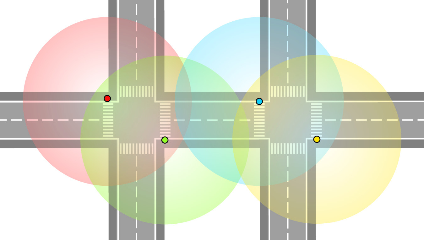
CYSEN Sensor Platform
A full-spectrum smart parking sensor system that captures street-level activity, occupancy
status, vehicle/object persistence, traffic counts, and historical search data for parking and
smart city programs.
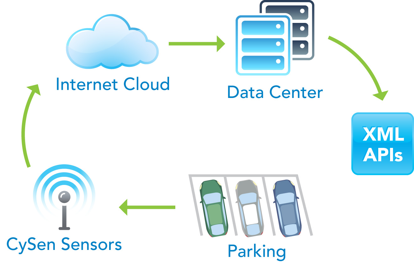
Open architecture
XML APIs
Customer APIs and Integrations
CYSEN publishes data through open API workflows so sensor events can flow into customer
systems, smart parking applications, enforcement tools, operational dashboards, and planning
databases.
Monitoring
Audit trail
Health Dashboard
A central monitoring layer shows whether each field unit is online, which connection path it
uses, and whether count data is being received during active operations.
Availability
Guidance
CYSEN SpaceFinder
A real-time space availability layer that converts sensor events into parking guidance, curb
utilization views, and occupancy intelligence for drivers, operators, or city-facing applications.
Enforcement
Same vehicle status
CYSEN Enforcement Tool
An enforcement-ready workflow for determining vehicle/object status over time, supporting
meter clearing, length-of-stay review, meter-feeding detection, and auditable field decisions.
Temporary
Special events
Portable and Temporary Sensors
Temporary Battery Operated Portable sensing can support special events, non-paved parking,
open curbside deployments, and environments where permanent installation is not yet practical.